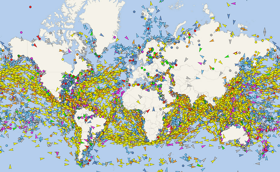
 Satellite AIS
monitor the global picture of the world maritime traffic
Single Ship Satellite Tracking
Global SATELLITE

Unlimited number of tracked ships
Satellite AIS is the only source of up-to-date ship positions data in the most remote areas of the world, especially in the open oceans and beyond the reach of terrestrial AIS systems.
Combining data received via Satellite AIS technology and data from thousands of Terrestrial AIS stations, we deliver the most complete picture of global vessels activity.
Every ship position is regularly updated via Satellites, typically from a few minutes to several hours. On an average basis, 90% of all ship positions are with a latency less than 1 hour.
For more information or an alternative payment method, feel free to contact us.
